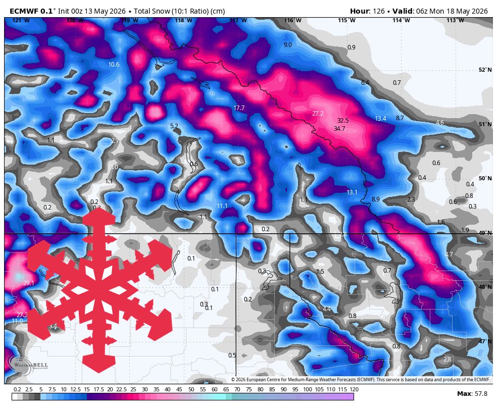
"Published totals through late Sunday are strongest at Banff Sunshine and Lake Louise, where the upper-end ranges reach 15-25 cm and 13-20 cm. Banff Sunshine remains open for late-season lift-served turns, while the other resorts are closed and are better read as high-terrain weather markers."
A modest, colder late-week snow pattern favors higher terrain in the BC/Alberta region, with the strongest totals near Banff Sunshine and Lake Louise through Sunday. Early periods bring scattered, elevation-dependent snow showers, with snow levels generally high at 1,700–2,200 meters and dense-to-wet snow where it falls. SLRs are mostly in the 4–8 range, and winds vary, with exposed areas near Big White seeing gusts around 70–90 km/h during an early burst. From Friday afternoon through Saturday evening, a more organized wave develops, with snow levels lowering toward 1,300–1,500 meters and SLRs mostly around 8–11. Published totals through late Sunday are highest at Banff Sunshine (15–25 cm) and Lake Louise (13–20 cm), while confidence declines after Sunday night into next week.
Read at SnowBrains
Unable to calculate read time
Collection
[
|
...
]