"Rocque would have set out with a couple of assistants and some very basic tools. A chain, 66ft long, a surveyor's wheel and a notebook, and they would go over, for example, a field, and they would measure it on all its sides, and they would draw that as accurately as they could."
"The City of London was packed with dense alleys and streets, a lot of them very insanitary. There were slums just a couple of streets away from really rich merchants living in their houses."
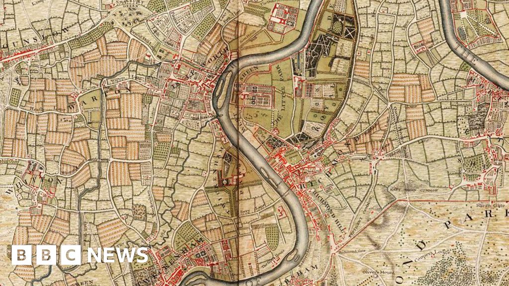
"London changed and rebuilt so much - many areas depicted on the map were fields and at the time lay outside the City of London."
John Rocque's 18th-century map, An Exact Survey of the Cities of London and Westminster, is being republished 280 years after its initial release. This map provided a detailed bird's-eye view of London, depicting areas like Hyde Park and Vauxhall. At the time, London had a population of about 650,000. Historian Steven Brindle praised Rocque's work as miraculous given the basic tools used for surveying. The map illustrates the city's dense alleys, slums, and existing buildings, including St George's church, highlighting London's historical transformation.
Read at www.bbc.com
Unable to calculate read time
Collection
[
|
...
]